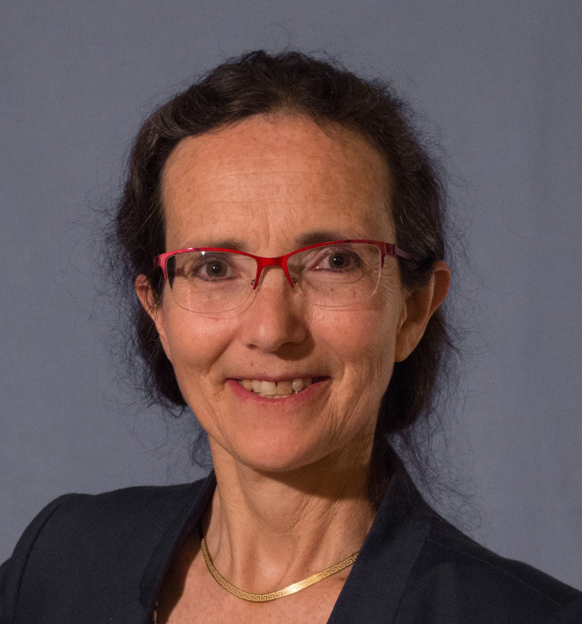
Béatrice Michalland, Deputy Director of Environmental Information in the Data and Statistical Studies Department of the General Commissariat for Sustainable Development, Ministry for Ecological Transition, Energy, Climate and Risk Prevention (MTEECPR), Co-chair of GIS Sol (testimony from the dossier “Info&Sols, a partnership-based system for soil knowledge and monitoring in France” – 2024)
The Ministry for the Environment co-chairs the GIS Sol. What are its needs in terms of soil knowledge and monitoring?
“The MTEECPR has been involved in the GIS Sol since its inception (2001), initially via the IFEN (French Institute for the Environment), which joined the Ministry in 2008. Responsible for gathering and making available information on the state of the environment in France, this department took an early interest in the state of soils. Today, the MTEECPR focuses not only on understanding the state of soils, but also on the pressures they are subject to (artificial development, pollution) and the ecosystem services they provide (carbon storage, water filtration/retention, biodiversity reservoir, etc.). Soil has been recognised in the Environment Code as an element of common heritage and its services as being of common interest (Article L110-1) since 2016 via the law for the reconquest of biodiversity and landscapes.
In total, five MTEECPR directorates are responsible for soil-related policies: the DGPR (polluted soils and sites, natural risks involving erosion or landslides, etc.), the DEB (nature-based solutions, biodiversity, water management), the DHUP (planning/artificialisation), the DGEC (climate) and, lastly, the CGDD for environmental information and data.”
How does the work of the GIS Sol meet the needs of the MTEECPR?
“The soil inventory, management and conservation programme (IGCS) now provides a 250,000-scale map of dominant soils for the whole of France. The systematic soil quality measurement programme (RMQS) helps establish the state of French soils, and to monitor changes in them. The 2,240 points that make up the programme provide a general knowledge tool, which needs to be supplemented by an understanding of the relationship between uses, practices and condition over time. This is the challenge of the 2nd monitoring campaign, which began in 2016 and should be completed in 2030. When more precise data is needed to guide a PLUi, for example, the GIS Soil data is insufficient. However, GIS Sol can offer its expertise to local players, especially as it has a number of local partnerships. Thanks to GIS Sol, we have a real network of soil scientists and geologists and strong links with the Chambers of Agriculture.
I share the chairmanship of GIS Sol with MASAF. This means that we work closely together and share our priorities. This has made it easier to prepare France’s positions on the draft European directive on soil currently being negotiated.”
What science is needed to protect soils today?
“To give just one example, mitigating climate change requires more carbon to be stored in soils (the 4 in 1000 project) and in forests. The question is how to encourage this storage and where? Where are the risks of soil erosion that could undermine this storage? How can we help forests, through good management of forest soils, to better withstand the effects of climate change? The questions are numerous.
The European directive on soil monitoring and soil resilience will set targets for soil quality. Initially, these will focus on monitoring and disseminating best practice in sustainable soil management, but in the longer term, action will need to be taken to restore soil health. This challenge will be the subject of major collaborative work between the GIS Sol and the ministries concerned. In the short term, the GIS Sol is working to find out how to ensure a good sampling of monitoring points to meet the ambitions of the directive, and also to establish thresholds for characterising good soil health in the French context.
Our close links with science and research guarantee the relevance of the monitoring to be set up and our understanding of the phenomena that explain it. The summaries expected from this abundant scientific production will highlight the little-known richness of soils, which is essential if we are to protect them more effectively. It was against this backdrop that INRAE, at the instigation of the GIS Sol, led a study aimed at defining a set of soil indicators to qualify soil quality, the results of which were published on 20 November last year.”
Testimonial from our thematic dossier
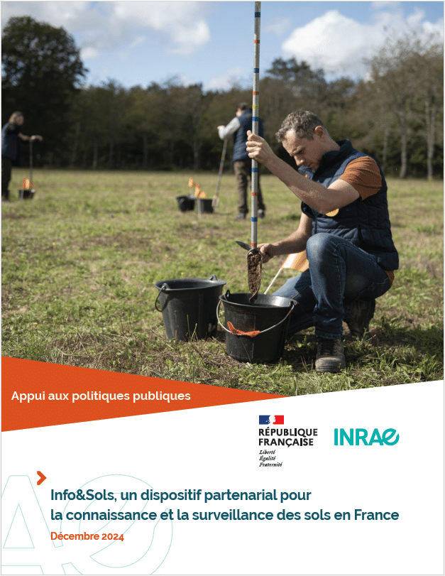
Thematic dossier
Info&Sols, a partnership-based system for understanding and monitoring soil in France
At the interface with water, air, rock and living organisms, soils are living, fragile environments that need to be preserved. They are at the heart of crucial global issues for the planet and for our own survival. Yet in Europe, over 60% of soil is degraded. This dossier looks at the establishment of a soil knowledge and monitoring system in France, the public policies that have benefited from these scientific advances and the emerging issues surrounding soil.