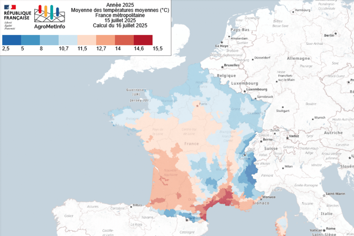
AgroMetInfo is an agroclimatic monitoring application that analyses the climate’s influence on agricultural production, developed by the AgroClim service unit. Thanks to their collaboration with Météo France, scientists can produce relevant indicators at the scale of France’s small agricultural regions using fine-scale data (8 km for the whole of France). Since 2019, AgroMetInfo has enabled users to track simple indicators in real time to monitor changes in crop agroclimatic conditions, compare regional situations and anticipate crop management strategies.
Recent developments to the tool have enabled the portal to be enhanced with new functions, including a regular agrometeorological bulletin, supplemented by a summary analysis. The maps produced and the associated data are available on the AgroMetInfo application, providing a better understanding of exceptional agrometeorological situations such as rainfall deficits or extreme heat. These tools make it easier to anticipate these phenomena and are useful for agricultural advisors and farmers, who accounted for 40% of regular visitors to AgroMetInfo between July 2024 and 2025.
Explore the AgroMetInfo website and application
Find out more:
Explore other public policy support projects
-
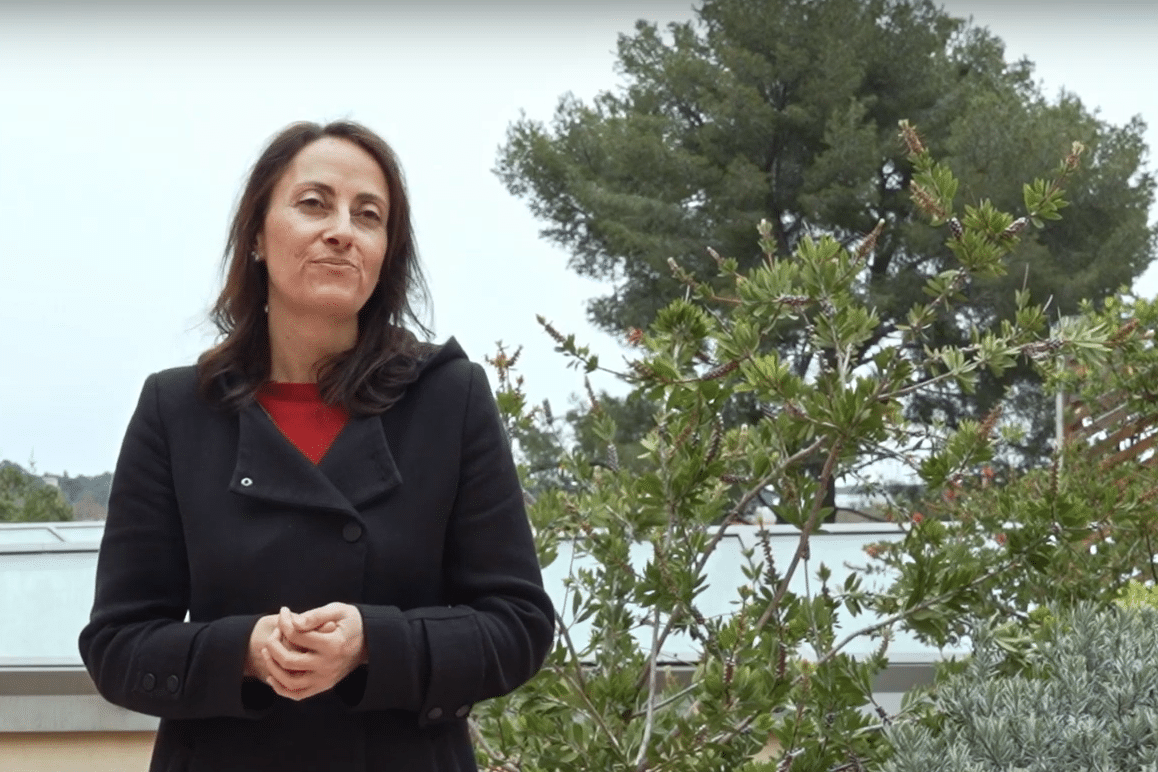
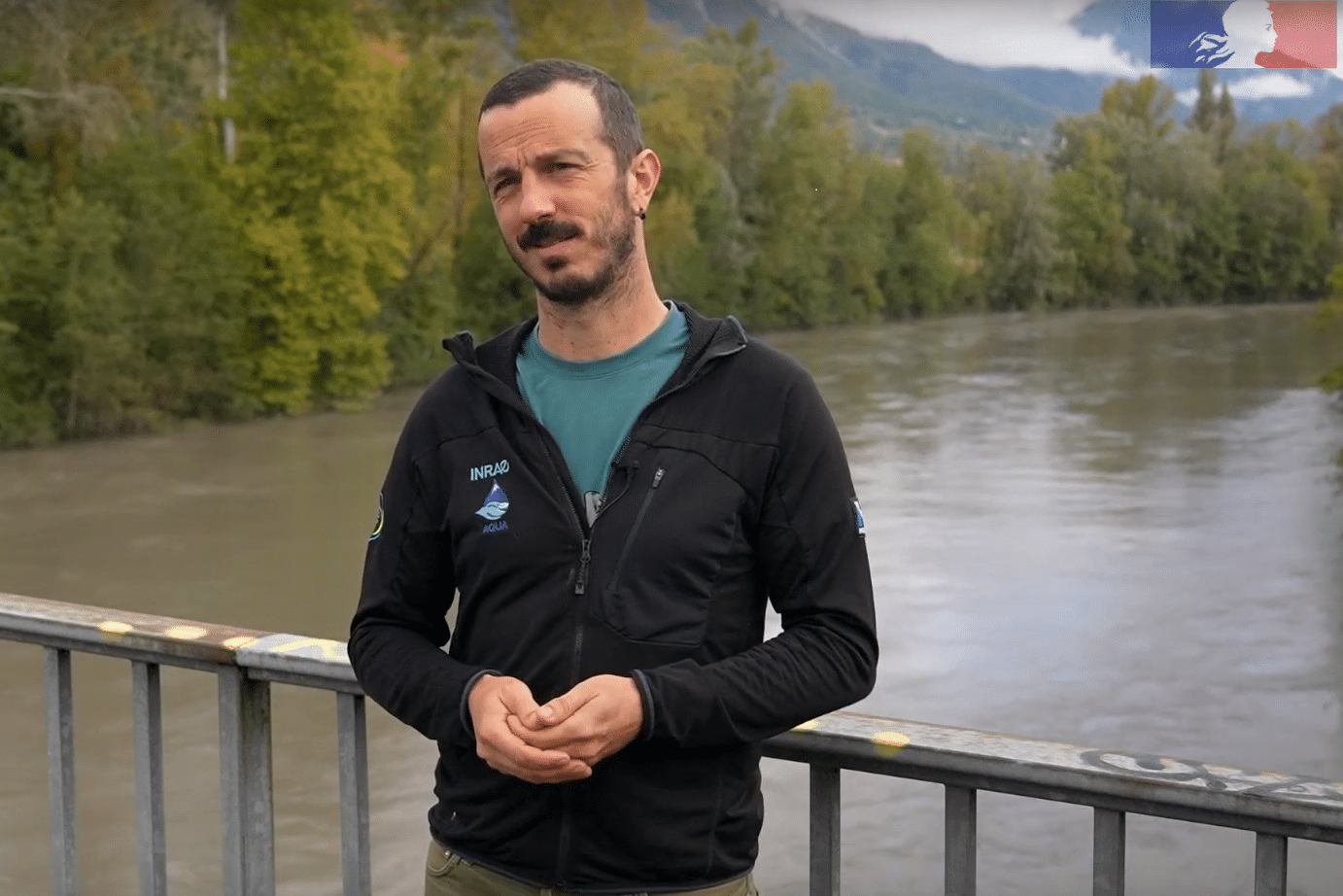
What the scientists say
Producing climate simulations to forecast water resources
“[…] we have been working on correcting the biases associated with the regional climate models used to produce hydrological…”

Jean-Michel Soubeyrou
Deputy Scientific Director, Climatology and Climate Services Division, Météo-France
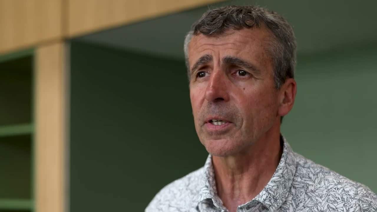
Photo : Christophe Maitre CC BY-SA 3.0 https://creativecommons.org/licenses/by-sa/3.0, via Wikimedia Commons